Captain Ron shore sheet
Quick verdict
Favignana, Levanzo and Marettimo are close enough to hop between in short legs and different enough to be worth all three. Favignana has the famous coves and the only real harbour; Levanzo is small and quiet; Marettimo is the wild one. Do the paperwork before you leave, not on the buoy.
The harbour: read first
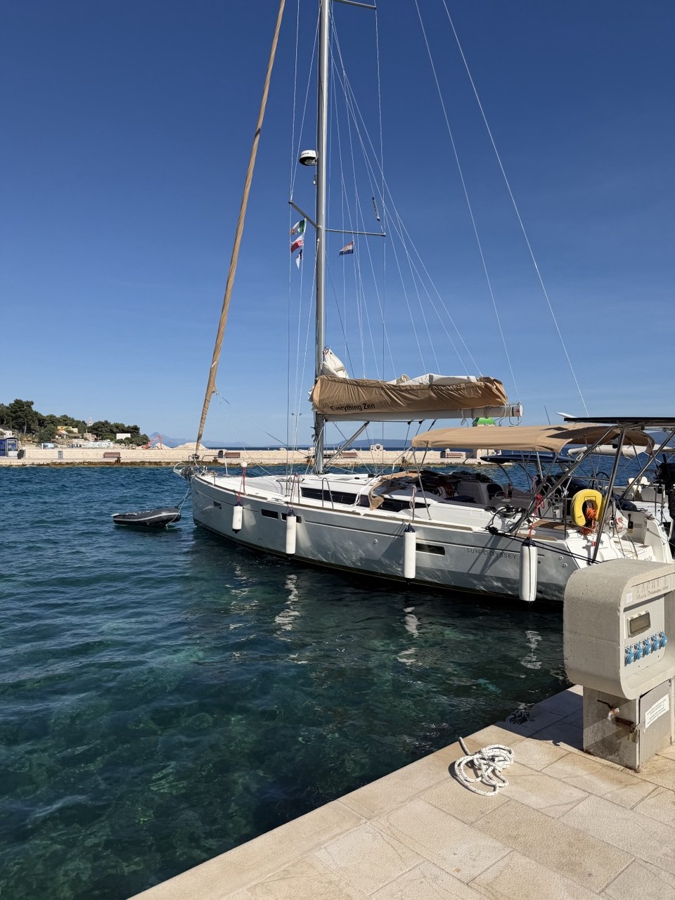
Porto di Favignana sits on the north coast at the town, roughly 37°55.9′N 012°19.6′E. Around 100 berths in total, 295 m of quay, 95 m of pontoon, average depth about 3 m, quay height 1.2 m. It is a working fishing and ferry port — Liberty Lines hydrofoils use it all day.
Described as sheltered from all winds and swell, pontoon in the middle of town, draft to 4.5 m. Water, power, lazy lines, mooring assistance, wifi. +39 333 681 5254 / +39 340 373 4853.
Open to northerlies and the maestrale, sound in S/W/E. Water and power 08:00–11:00 and 19:00–24:00 only; watchman and mooring help 24h. +39 347 129 7016.
About 3.5 m, max draft 3.9 m, bow-to on lazy lines with the stern to the quay. Sheltered from the S, W and E quadrants. 349 360 9477 / 388 393 0470.
All three answer WhatsApp, which is faster than the phone. Local maritime authority is the Ufficio Locale Marittimo, Piazza S. Leonardo 1, 0923 922273.
The marine park, in plain English
AMP Isole Egadi covers the water around Favignana, Levanzo, Marettimo, Formica and Maraone, and protects large meadows of Posidonia oceanica. That seagrass is the whole reason for the rules. It is zoned:
- Zone A — integral reserve, west of Marettimo and around Maraone. Not a place you navigate, anchor or moor. Stay out.
- Zone B — general reserve. Particularly restrictive close inshore; some allowances apply only to residents, owners or authorised small craft.
- Zone C — partial reserve. Navigation is freer, but anchoring still depends on the seabed, your authorisation and the season.
- Zone D — protection zone between the islands. Transit generally freer, general park rules still apply.
Applications and payments go through the AMP offices, the online authorisations portal, or the BlueDiscovery app, which carries a map and handles the forms. Wardens can also issue an authorisation on the buoy field itself, with a surcharge for the paperwork — useful, but not a guarantee of a space.
Before departure, re-check tariffs, authorisations, buoy-field status and any current ordinance from the Capitaneria di Porto di Trapani. And carry at least one alternative for every island on the plan.
Buoy fields
The park runs 14 mooring fields with around 150 buoys, installed seasonally from roughly June to September and lifted in winter so the Posidonia recovers. One boat per buoy. A field is a regulated area, not a scattering of moorings to pick a gap between.
- Favignana — Cala Rossa (14), Cala Azzurra (18), Scindo Passo (15), Preveto (14), Bue Marino (9), Faraglione Ovest (4), Faraglione Est (3).
- Levanzo — Cala Tramontana (10), Cala Fredda (9), Capo Grosso (3), Punta Altarella (3).
- Marettimo — Scalo Maestro (13), Conca (8), Finocchio Marino (9).
Note that Cala Dogana on Levanzo is not a buoy field — it is the village landing, and busy with excursion traffic.
What it costs, 2026
From the Disciplinare Integrativo 2026. Rates depend on activity, duration and length — these are the two bands most cruising boats fall into.
The weekly rate is four days' money, so anything over three nights should be bought by the week. Issuing on the spot can carry extra admin cost. Discounts exist but only against documented requirements — do not assume them. Always check the current official table rather than an old screenshot.
Can you book a buoy? No.
This is the part people get wrong. You buy an authorisation, not a mooring. The permit gives you the right to use a buoy in the fields; it does not hold a specific one for you, and the park's own guidance is explicit that a buoy field is not a guaranteed place. Arrive early in the day in August, and carry an alternative for every cove on the plan.
⚠️ The summer anchoring ban — read this before anything else
From 15 July to 15 September the park runs a capacity system over the named sensitive areas. Within that window, daily and weekly anchoring authorisations held by non-residents must observe a prohibition on anchoring in those areas. In plain terms: if you are a visitor on a day or week permit in high summer, you cannot anchor in the famous coves at all. The buoy fields are not the convenient option, they are the only option.
The listed sensitive areas, with the park's own capacity figures at one boat per 50 m:
There is also a minimum 25 m swinging radius around the anchor in sensitive areas, which puts boats 50 m apart, and a 50 m band off the coast excluded from the capacity calculation.
Other seasonal closures
- Eagle ray site — Marettimo only, and it is small. Anchoring prohibited 1 August to 31 December over a defined polygon on Marettimo's southeast side, roughly 37°56.5′–56.8′N, 012°05.0′–05.5′E — about 500 m across. It does not touch Favignana or Levanzo. Dive sites 53 and 54 sit inside it and carry their own restrictions.
- Marettimo has a specific daily limit in zone B for certain non-resident small craft. A boat over 10 m is not in that category, so do not read it as permission.
- A night-anchoring ban in certain zone C areas is suspended until the buoy fields there are installed — which means it switches on once they are.
Source note: the coordinates and capacity table above are read from the AMP's own Disciplinare Integrativo, annuality 2023 — the most recent full text we could obtain. The 15 July start and the general structure are corroborated for 2026, but confirm the current year's document before you rely on a specific figure.
Anchorages, sorted by what the wind is doing
- Cala Rossa (NE Favignana) — the postcard, old tufa quarries dropping into turquoise. Wide open to N and NE.
- Cala Azzurra (SE Favignana) — sand, and your friend in anything northerly or westerly.
- Lido Burrone (S Favignana) — the other maestrale bolt-hole.
- Cala Rotonda / Cala Grande (W Favignana) — lovely, and useless with any west in the forecast.
- Cala Dogana (Levanzo) — tiny, off the village, open to the south.
- Scalo Nuovo (Marettimo) — small and deep, the wildest of the three islands.
Getting there
- Favignana is not a day hop from Malta. Roughly 160 nm direct, about 29 hours at cruising speed — past the 24-hour ceiling we work to.
- Break it on the south coast of Sicily: Licata, then Sciacca, then Marsala or Trapani.
- Trapani is about 7 nm east, Marsala about 15 nm southeast. Both have proper marinas. That is the bolt-hole when the maestrale fills in, and it will.
- Approaching from seaward, the island is recognised by the ridge of Montagna Grossa running north to south with the old semaphore station on it.
Crew missions
Captain Ron bottom line
Do the permits on the sofa, not on the buoy. Ring La Darsena before you leave. Treat the maestrale as the only weather that matters here, and keep Trapani in your back pocket for the day it arrives. Then the Egadi are exactly as good as the photographs, which is not a thing you can often say.