Captain Ron shore sheet
Quick verdict
Portopalo is a staging anchorage, and a very good one when the wind and swell come from the north or east. The bay faces south, so Capo Passero and the land take out the north-easterly. It is open to SE, S and SW. Plan to anchor, not to berth: CruisersWiki lists no marina, and Navily reviewers describe the harbour as full of fishing boats and not set up for yachts. From the bay it is roughly 55 NM to Valletta, which makes it the natural jumping-off point for Malta.
Navily rates it protected from N, NE, E, W and NW and open to SE, S and SW. Keep clear of the many local moorings on the east side of the bay (Navily).
No visitor pontoon or marina operator. Parts of the east breakwater were damaged by Cyclone Harry in January 2026 and have been repaired and reopened in stages. Treat any yacht space as a local question.
Two marinas and a pontoon operator, but the harbour faces east, so it is the wrong place in a north-east or east swell.
Anchorage notes
- Give the reefs off Capo Passero and Isola delle Correnti at least 0.5 NM. Go round the outside of Isola di Capo Passero; the shallow channel between the island and the mainland is not a short cut, and a Navily reviewer touched at 2.4 m there.
- Do not anchor off Isola di Capo Passero itself. Navily flags anchoring there as forbidden, and reviewers report the Coast Guard moving boats on in 2025.
- The north-side anchorages around the cape (Vecchia Tonnara and Capo Passero) are open to the north and east. They are summer stops in the opposite conditions to Portopalo.
- Some refracted NE swell still wraps into the bay. Navily reviewers in September and October 2026 call it noticeable but not uncomfortable, with good holding.
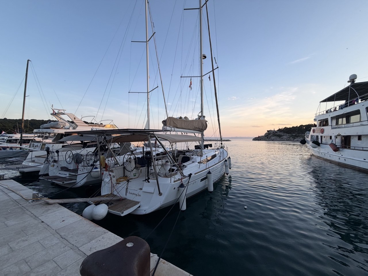
- In our case it was a calm-wind overnight with leftover north-easterly swell. The bay did its job, and we were away before dawn to cross to Malta in the morning window.
- Coast Guard: the Ufficio Locale Marittimo at Portopalo, under the Capitaneria di Porto di Siracusa, VHF 16. Sea emergency 1530.
Marzamemi: the berth option up the coast
- Marina di Marzamemi: VHF 6. Navily reviewers report it staffed in October 2026, with water and electricity included.
- Yacht Club Marzamemi: VHF 9, the westernmost pontoons, mooring assistance listed as available all year.
- Pontile Nautilus: VHF 10.
- Reviewers mention a shoal near the green light and marineros coming out in a RIB to lead boats in. Ask for that, and for an inner berth if there is any east in the swell.
A short history
Portopalo is young for Sicily. The Marquis Gaetano Deodato Moncada began building here in 1778, and by 1792 there were about a hundred houses for some 300 settlers beside the tonnara, the tuna-trap station. The town belonged to Noto, then to Pachino, and only became its own comune on 8 March 1975, when "di Capo Passero" was added to the name. "Portus Palus" means marshy harbour (Wikipedia).
The 17th-century tonnara worked until 1969; its loggia, furnace, warehouses and chapel survive but have been closed to the public since 2007. Offshore, the Spanish-era fort on Isola di Capo Passero was built against Barbary pirates, later served as a prison, and has carried a lighthouse since 1871. Sources disagree on when the fort was built, anywhere from 1599 to the 17th century. Castello Tafuri, the 1930s mock castle beside the tonnara, is the building everyone photographs. On 10 July 1943 the Allied landings in Sicily came ashore along this coast near Pachino and Portopalo.
Best things to do
- Isola delle Correnti: a tiny islet off the southern tip, where the Ionian meets the Mediterranean. It has an 1865 lighthouse, a Christ statue whose plaque calls it Italy's southernmost point, and a causeway the sea keeps breaking (Wikipedia). It is a lunch stop at most by boat, with reefs and current around it.
- Isola di Capo Passero and its fort: about 300 m offshore, reached by small boat or by wading at low tide. The fort carries a bronze Madonna. Admire it from outside the anchoring ban.
- The fishing port: Portopalo is a recognised landing point for bluefin tuna and swordfish, and the harbour still works for a living. The show is the boats coming in, not a tourist market.
- Beaches: Scalo Mandrie, Spiaggia delle Formiche and Carratois, plus the town centre around Via Vittorio Emanuele (italia.it).
- Marzamemi: the old tonnara village 8 km north, with its 18th-century piazza, church and fishermen's houses. It is the prettiest evening out on this corner of Sicily.
Food and drink
- Scala, Via G. Carducci, Portopalo: local fish since 2007, known for red prawns and tuna tartare. Listed by Slow Food and Michelin; closed Mondays.
- U Saracenu, Via Lucio Tasca 3, Portopalo: seafood with a view of the island, known for paccheri with sea urchin. Check autumn opening hours.
- Taverna La Cialoma, Piazza Regina Margherita 23, Marzamemi: tables on the piazza beside the old tonnara, menu by the day's catch.
- Cortile Arabo, Marzamemi: contemporary Sicilian on a terrace over the rocks. The special-occasion choice.
- Local flavours: Pachino IGP cherry tomatoes and Nero d'Avola from the Eloro DOC's Pachino sub-zone. Both come from the fields right behind the town.
- We have not verified a specific bar, so we are not naming one. Marzamemi's piazza is where the evening drink happens.
Nearby excursions
- Noto, about 30 km by road: the showpiece of the UNESCO Late Baroque Towns of the Val di Noto, rebuilt after the 1693 earthquake. Modica and Ragusa are part of the same listing.
- Vendicari nature reserve, between Marzamemi and Noto: about 1,500 hectares of lagoons and beaches, a Ramsar wetland with flamingos nesting again since 2018, the Torre Sveva and an old tonnara (Wikipedia). From the sea, keep to the coastal distance rules.
- Siracusa, about 45 km: Ortigia, the archaeological park and a proper city for provisions. See our Siracusa guide.
- Pachino, next door: the tomato and wine town, worth it for the produce rather than the sights.
Chandlers, fuel and supplies
- Chandlery: we could not verify one in Portopalo, Pachino or Marzamemi. The nearest verified is SM Nautica, Viale Santa Panagia 85, Siracusa, which sells boat accessories, safety gear, electronics and fishing tackle. Buy what you need in Siracusa before coming south.
- Fuel: we could not confirm fuel a yacht can reach at Portopalo; the quayside fuel serves the fishing fleet. Marzamemi's Porto Fossa reports fuel prices to the national registry, but call ahead to check you can get alongside. The safe plan is to fill up in Siracusa.
- Provisions: a small supermarket on Via Vittorio Emanuele, according to directory listings. It is fine for bread and basics, but do a proper stock-up in Siracusa.
- Repairs: Navily reviewers mention a local boatyard. We have not verified it.
Crew missions
Captain Ron bottom line
Portopalo is a good waiting room with an excellent fish counter. Come in with a full tank and a full fridge from Siracusa, anchor on sand in the middle of the bay away from the moorings, and keep half a mile off every reef the cape owns. If the wind goes into the south, leave. If it stays north-east, sleep, eat red prawns, and go to Malta at first light.